Data as a Service®
Xplore collects data from space that provides commercial, intelligence and climate solutions for our customers.
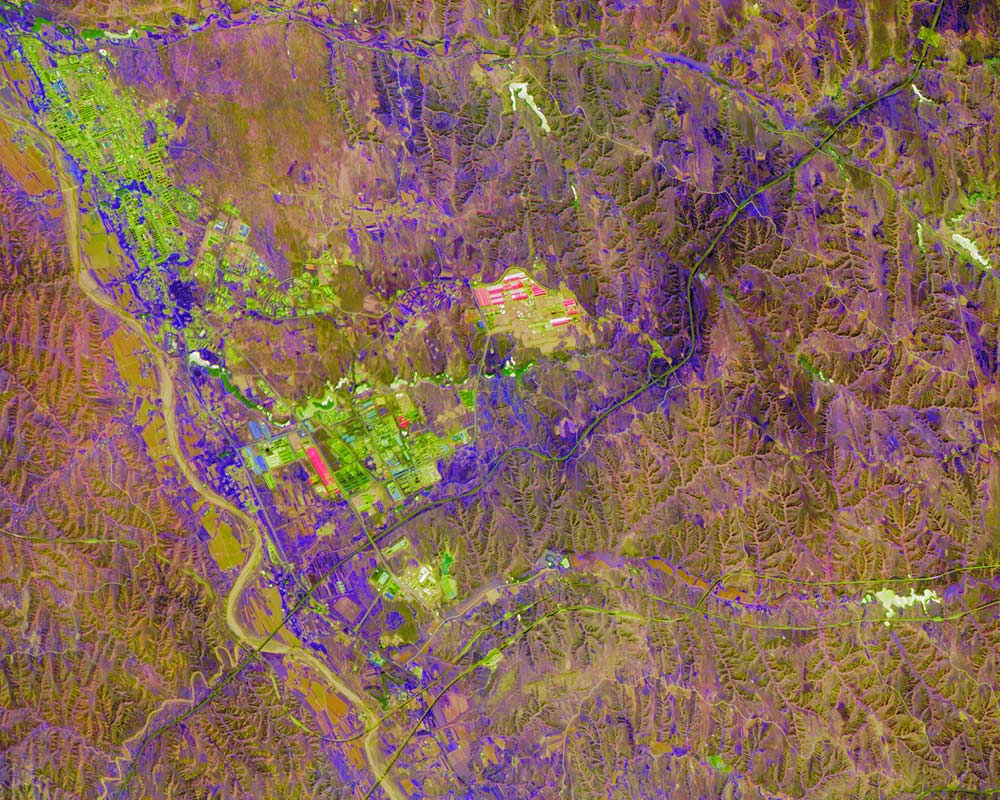
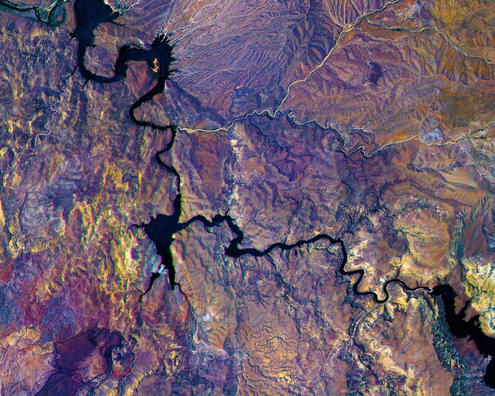
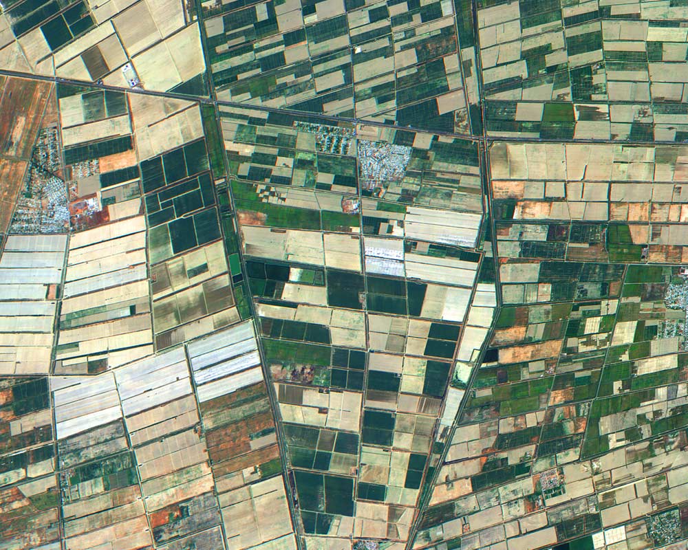
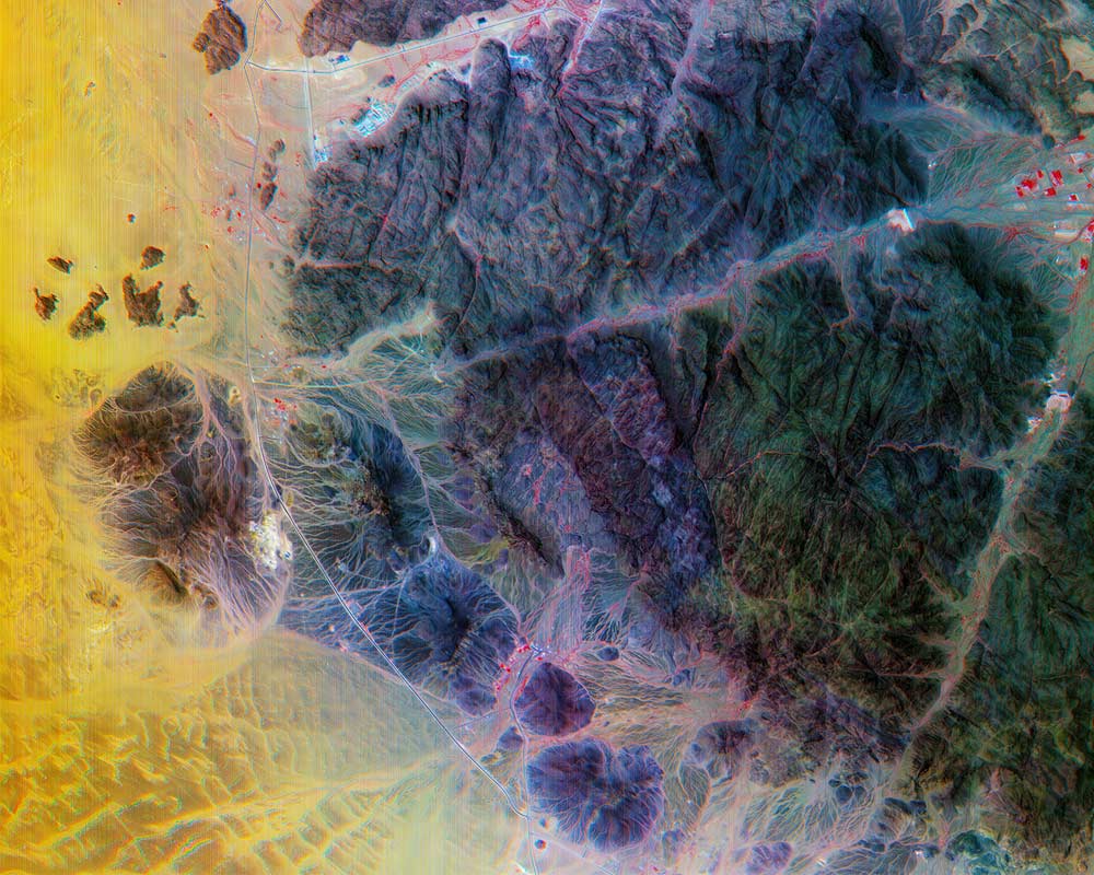
Xplore's remote sensing satellites carry a diverse and versatile suite of instruments designed to capture data and deliver imagery of the Earth. Our first mission will deliver world-leading hyperspectral data products.
Hyperspectral imagery allows us to see the chemistry of the Earth, from Space. It enables gathering detailed information about the composition and characteristics of objects and surfaces in a way that is impossible with conventional imaging systems.
Future missions will include ultraviolet, high-resolution video, infrared, RF and other sensing phenomenologies.
Sensors
Customers task Xplore's instrument(s) to collect space data products.
- Multi- and hyperspectral
- Short wave infrared
- High resolution RGB imaging (including video)
- Ultra violet imaging
- RF imagers
- RF sensors
- Radiation sensors
Markets Served
- Agriculture
- Aviation
- Civil Agencies
- Defense & Intelligence
- Energy
- Environment Monitoring
- Financial Services
- Forestry
- Infrastructure
- Insurance
- Land Use Management
- Maritime
- Natural Resource Protection
- Space Weather
- Transportation / Logistics